
Bridgeless to Better Burnside
A signature street throught the heart of west Portland
During the upcoming five-year closure of the Portland, Oregon’s Burnside Bridge for seismic updates, the economy and cultural vitality of the neighborhoods surrounding West Burnside Street are likely to be negatively impacted. This capstone project proposes activations and redesigns of the street, based on intensive community engagement, to mitigate these impacts and provide a welcoming street for locals and visitors to Portland.
You can download the full report here
Planning Workshop
Winter - Spring 2025 with ongoing involvement
Group Project with Michael Azierski, Brian Bill, Alex Gill, Jackson Morrison, and Michel Rojas
Graphics and text shown here individual work except as noted
Adobe Illustrator, InDesign, Photography
Won: Council of University Transportation Centers Planning & Policy Group Award 2025
Honorable Mention: The Western Planner Conference 2025 Student Planning Project of the Year
Poster Presentations: MPact Transit & Mobility Conference 2025, ITE Annual Meeting 2026 (upcoming)

Recommendations
The above map illustrates proposed changes to the streetscape and lane usage during the closure of the Burnside Bridge at the east end of the street. It is the culmination of research on the history of the West Burnside corridor, existing transportation plans, and community visions for the street and surrounding connections. A second map was produced for the period after the bridge is reopened with some changes anticipating moderately increased vehicular traffic.


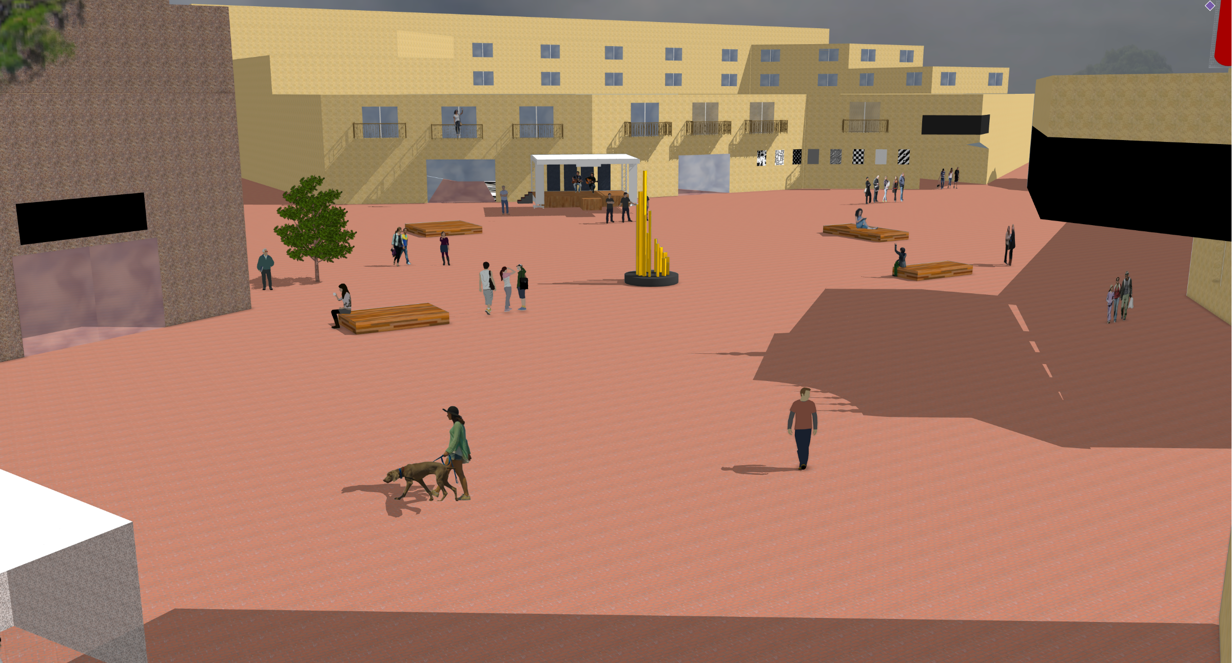
The renders shown above were completed by team member Michel Rojas, and illustrate intersection-specific changes that respond to the frequently-heard desire for more pedestrian-focused places to stop and gather along the corridor.

Engagement to Design Translation
This diagram represents the results of community engagement, their distillation into recurring themes, and re-expansion to recommended designs across spatiotemporal scales in the final report.
Relative size of circles indicates number of comments made in regards to each theme. Colors are reflective of the complete project report and span the spectrum of social to physical needs for the street.
Raw data were analyzed by team member Jackson Morrison and visualized here by the author.
Selected Works